
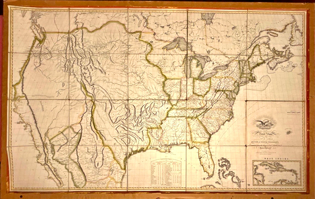
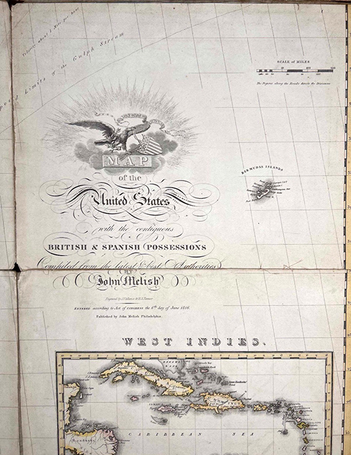
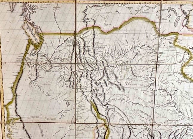
“Map of the United States with the Contiguous British & Spanish Possessions” 40 Engraved Linen-Backed Panels Published Philadelphia, 1816 | Gilt Framed Engraved by J. Vallance & H.S. Tanner, and published by John Melish, Philadelphia, in 1816. The map also includes the desirable inset of the West Indies.
John Melish’s 1816 map is widely regarded as the first large-scale American-produced map to depict the United States extending from the Atlantic to the Pacific, reflecting the nation’s expanding geographic vision following the Louisiana Purchase and the War of 1812. It became the definitive map of the young republic and is considered one of the landmark achievements of early American cartography.
Condition: Very nice overall condition with expected minor age-related wear. Original linen backing remains sound. Under glass in an attractive gilt frame, ready for display.
TERMS:
10% buyer’s premium for live bidders, 15% for online, absentee, and phone bidders. Preview in person is
recommended as all items are sold as is. Federal Firearms License regulations apply to firearms purchases.
PREVIEW:
Preview September 18th, 10 am to 5 pm. Doors open September 19th at 8 am. Absentee and phone bidding available.
For questions contact:
Auctioneer Kenny Synesael — 765-404-5014
Live bidding available via LiveAuctioneers/Synesael Davies Auctions